
Exploring dykes
Some people might say that in the same way the Viatores saw Roman Roads everywhere, I see Late Iron Age Dykes.
If it looks like a dyke…
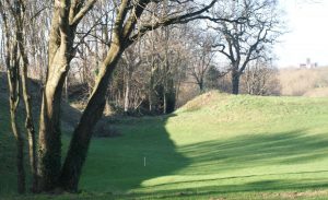
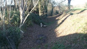
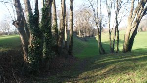
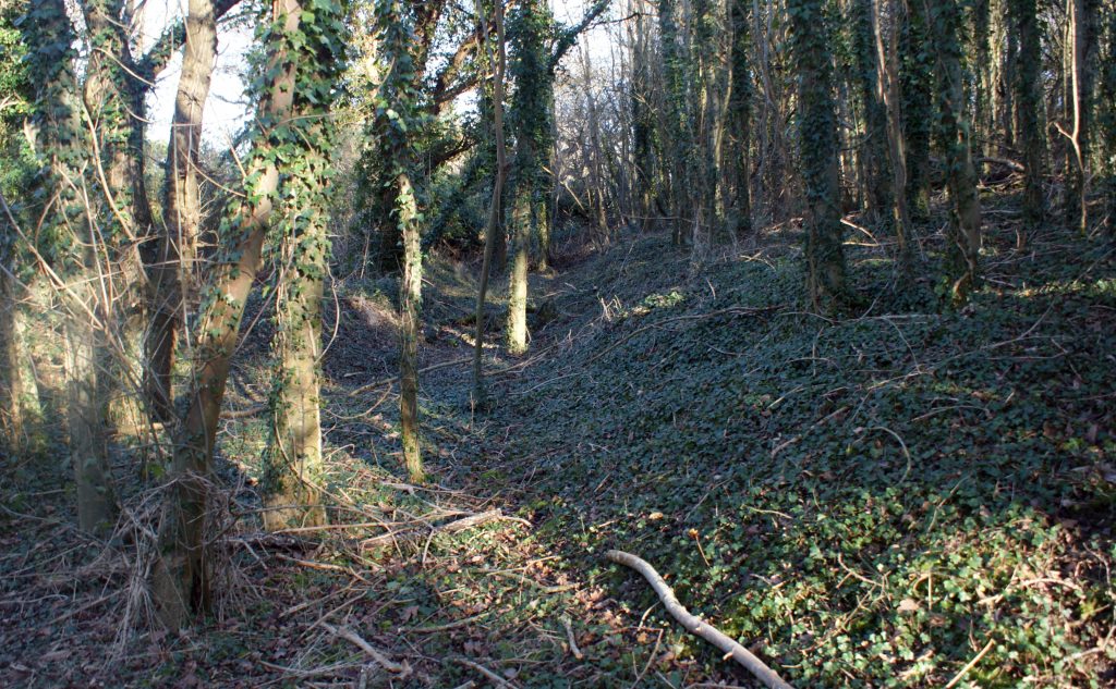
For many years I have travelled along Cottonmill Lane towards Napsbury Lane*. There is a marked depression/ gulley visible on the left (North) side of the golf course about 100 yards before the Napsbury Lane roundabout. (photos below) It continues northwards across the golf course, until it meets the steep sided valley leading to the Ver.
I wondered if it was just my imagination. Could I find any evidence of it on old maps?
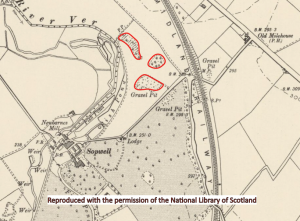
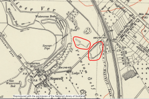
The 1865 map above does not indicate any sort of earthwork, only quarries
This later (1928) map, however does indicate 2 earthworks, the top one being in a position corresponding to the feature that I think may well be a dyke.
The 1928 map also shows an earthwork to the South of Cottonmill Lane. This section, parallel to Cottonmill Lane. is still visible, but most of the rest has been obliterated by the golf course
The difference between the 1865 and the 1928 map is in large part due to O. G. S. Crawford.
“here, in a plantation known as Prae Wood …. Mr. O. G. S. Crawford had already noticed a complex group of unmapped earthworks.”
O. G. S. Crawford (Marlborough College, Cambridge), was an archeology enthusiast and a pilot who realised the advantages of aerial photography. He served in the First World War under the man who subsequently became the chief of the Ordinance Survey and after the War was appointed as the first archeologist to the OS.